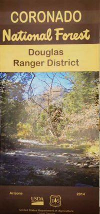
Coronado NF Map; Sierra Vista and Nogales District
Coronado National Forest Map detailing the Sierra Vista and Nogales Ranger Districts. Coronado National Forest consists of 15 mountain ranges with elevations form 3,000 ft to 10,720 ft, sometimes referred to as "Sky Islands".
This map shows the mountain ranges of Santa Rita, Pajarito, and Miller Peak Wilderness. It also shows part of the Sycamore Canyon, Madera Canyon. Lakes featured are Parker Canyon, and Pena Blanca. Also includes South Patagonia OHV area.


