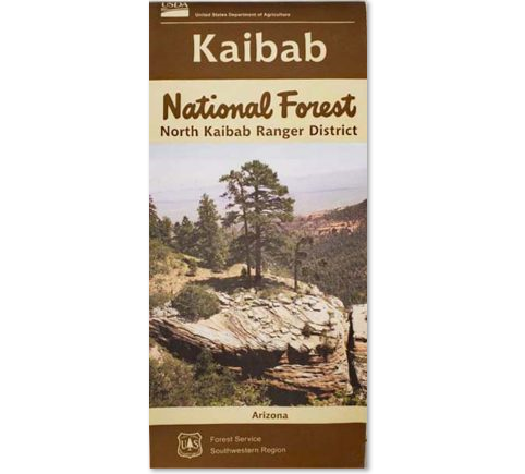
North Kaibab Forest Map
This map covers the area of Kaibab National Forest, north of the Grand Canyon, covering over 1,000 square miles of Forest land, with elevation changes from 5,500 feet to the 10,418 foot summit of Kendrick Peak. It includes areas such as the Marble, East Rim and LeFevre Viewpoints. Campgrounds such as Jacob lake, Demotte, and Indian Hollow are also included. This is a planimetric recreation map showing Forest Service system roads and trails, and is 1/2"=1 mile scale.


